

Projects
At the core of our operations is a commitment to precision, digital transformation, and technical excellence. We partner with leading organizations across both public and private sectors to modernize infrastructure, enhance data accuracy, and deliver impactful visual solutions.
Environmental Information Technology (IT) services
Application development & Integration, Database Design & Management, Consultation & Project Management
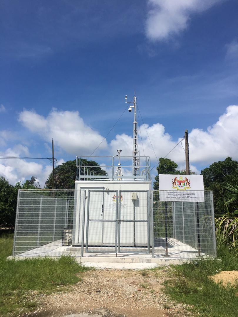
ENVIRONMENTAL QUALITY MONITORING PROGRAMME
The Environmental Quality Monitoring Program (EQMP) is a 15-year concession between the Department of Environment (DOE) Malaysia and Pakar Scieno TW (PSTW), a joint venture comprising Scienotech Sdn. Bhd., Pakar Management Sdn. Bhd., and Transwater API. EQMP operates a nationwide network of air, river, and marine water quality monitoring stations, providing reliable environmental data across Malaysia. The program uses recognized environmental indices, including the Air Pollutant Index (API), Water Quality Index (WQI), and Malaysian Marine Water Quality Index (MMWQI), to support environmental monitoring, regulatory compliance, and informed decision-making.
Application & Software
Providing and managing systems like EQMP Application, MyEQMS (web & mobile), MyECM, and public signage to receive, process, and display real-time environmental data.
IT Infrastructure & Network
Managing servers, networks, firewalls, computers, and display systems located in data centers (PDSA and DRC), as well as supporting the EDC Control Center and DOE IT Division.
Operations
Ensuring smooth daily operations by maintaining both physical and digital systems, while keeping data accurate and reliable.
Asset Replacement Program (ARP)
Regularly replacing outdated IT equipment to prevent disruptions in EQMP services.
Engineering services & consultation
Design, integration, development, management and services for Environmental Monitoring Station
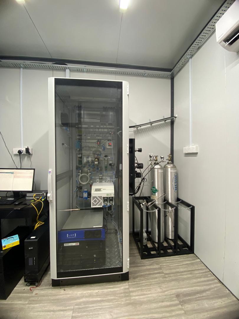
Supply, Installation, Testing and Commissioning of a Greenhouse Gas Monitoring System for Carbon Dioxide (CO₂), Methane (CH₄), and Carbon Monoxide (CO) in the Northern Zone of Peninsular Malaysia, the Central Zone of Peninsular Malaysia, Sabah, and Sarawak.
This project involves the supply, installation, testing, and commissioning of a Greenhouse Gases (GHG) Monitoring System to measure key greenhouse gases, including carbon dioxide (CO₂), methane (CH₄), and carbon monoxide (CO), across Peninsular Malaysia, Sabah, and Sarawak. The system provides reliable, real-time environmental data to support emission monitoring, air quality assessment, and regulatory reporting.
monitoring system development
Develop and implement software systems for greenhouse gas monitoring, display, and calibration management (RGGMS, CGGDS, CGGCMS).
hardware supply & installation
Supply, install and configure required hardware including workstations, storage, racks, UPS, KVM and user interface systems.
telecommunication infrastructure
Set up telecommunications infrastructure to support system connectivity.
system testing & commissioning
Perform system installation, testing and commissioning.
equipment supply & services
Environmental monitoring sensor, Telemetry & SCADA instrument, ICT Hardware & Software
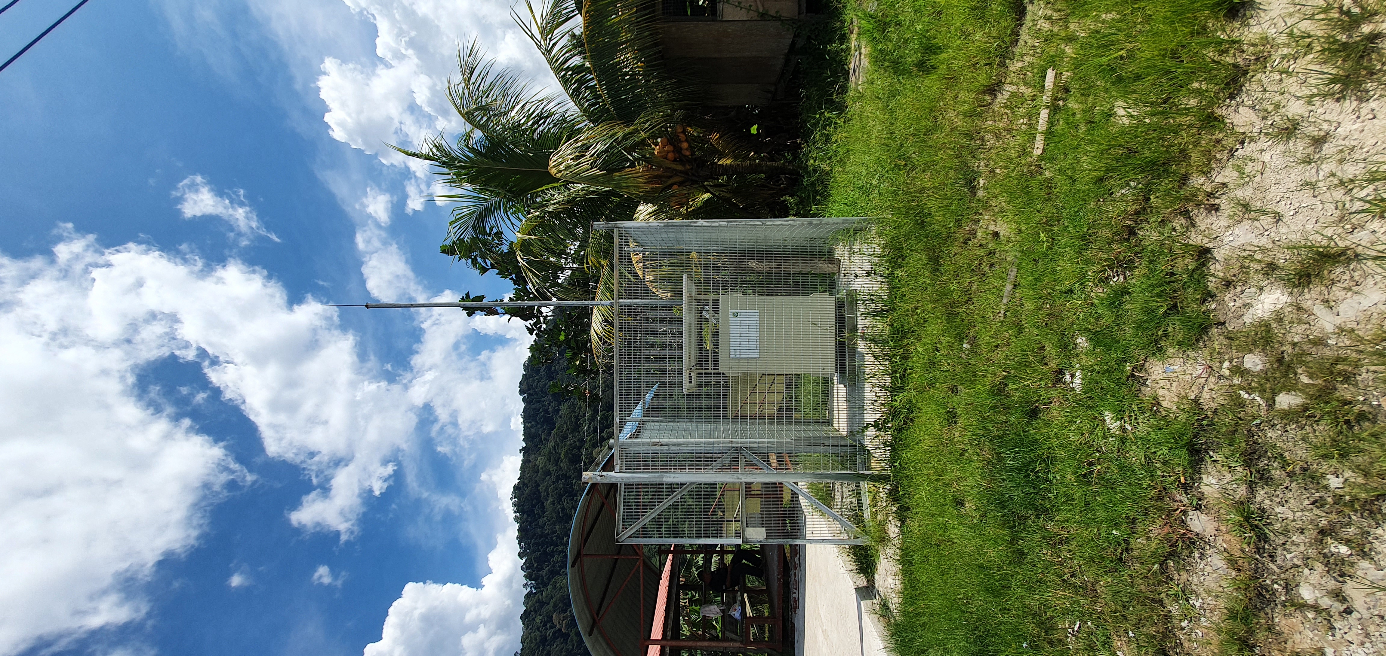
Design, Supply, Delivery, Installation, Testing, Commissioning, Operation And Maintenance Of Bakun HEP Water Quality Continuous Stations (CMS) (EIA012021A)
This project involves the implementation of a real-time water quality monitoring system for the Bakun Hydroelectric Plant (HEP), one of Southeast Asia's largest hydroelectric power plants with a capacity of 2,400 MW.
supply & installation
Supply, deliver, and install the complete continuous water quality monitoring station.
System Development & Commissioning
Develop, configure, test, and commission the monitoring and data management system.
Water Quality Monitoring
Monitor key water quality parameters, including pH, conductivity, salinity, temperature, turbidity, TSS, DO, ammonium, ammoniacal nitrogen, BOD, TOC, and chlorophyll-a.
Training & Maintenance
Perform system comprehensive operational training and recurring technical maintenance updates.
geographical information system (GIS) services
Spatial data collection & Mapping GIS Application development & Supply
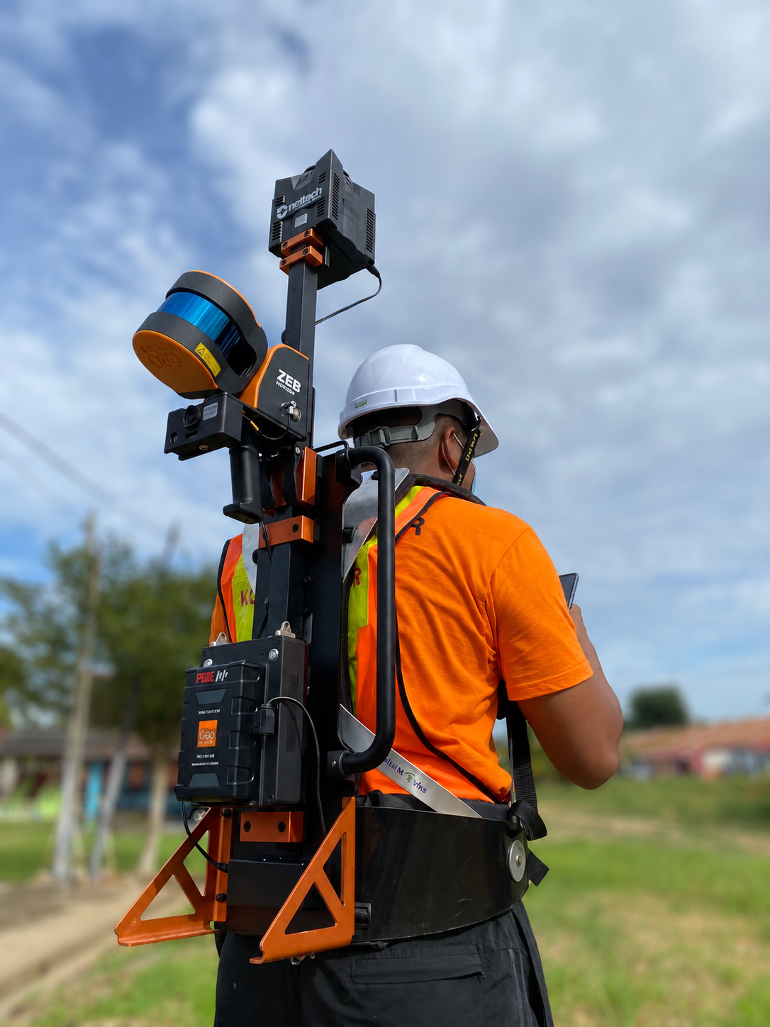
Geospatial Information System (GIS) Data Production Of LV Assets And Network Including Customer Meter Using Mobile Mapping 2.0, Bahagian Distribution Network, TNB – Mainhead E (Melaka East)
The GIS Distribution Network project supports Tenaga Nasional Berhad (TNB) in digitally mapping its electricity distribution network across Peninsular Malaysia. By 2022, the project covered approximately 81,327 substations, 660,038 km of overhead and underground conductors, and 9.05 million customer connections.
mobile field data collection
Capture field data using mobile mapping systems (LiDAR, navigation systems, and 360° cameras).
GIS & Asset data capture
Collect and generate 360° images, LiDAR data, and GIS data for LV assets, networks, and customer meters.
data processing & extraction
Process and extract data from captured inputs into usable GIS formats.
GIS data digitization
Digitize LV assets, network, and customer information into the GIS system.
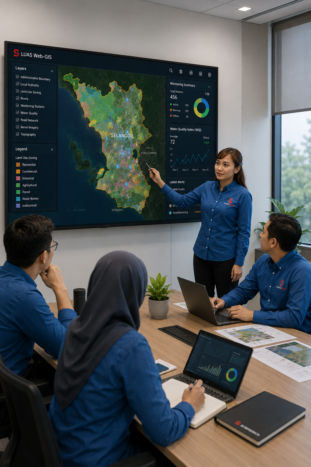
Development and Integration of System WEB-GIS
This project involves the development of a Web-GIS platform for LUAS to centrally manage and visualize spatial data from multiple existing systems using the latest GIS technology.
WEB-BASED GIS System development
Design and develop a web-based GIS system using the latest OPEN SOURCE GIS technologies.
system data integration
Integrate data from existing LUAS systems and applications into a centralized GIS platform.
interactive gis mapping
Enable spatial visualization of data through interactive online GIS maps.
database & data management
Configure database and data management structure for efficient storage and access.